

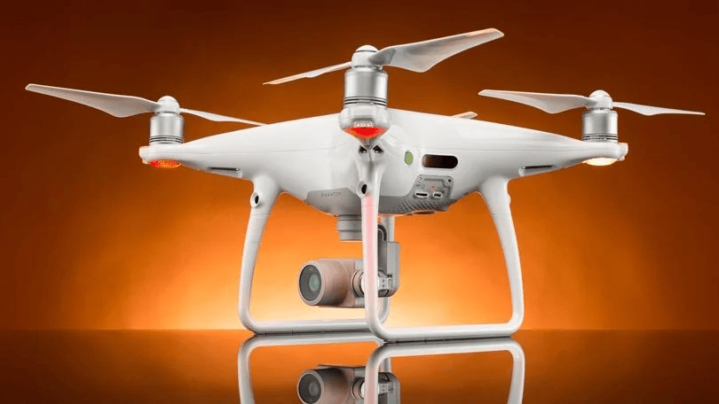
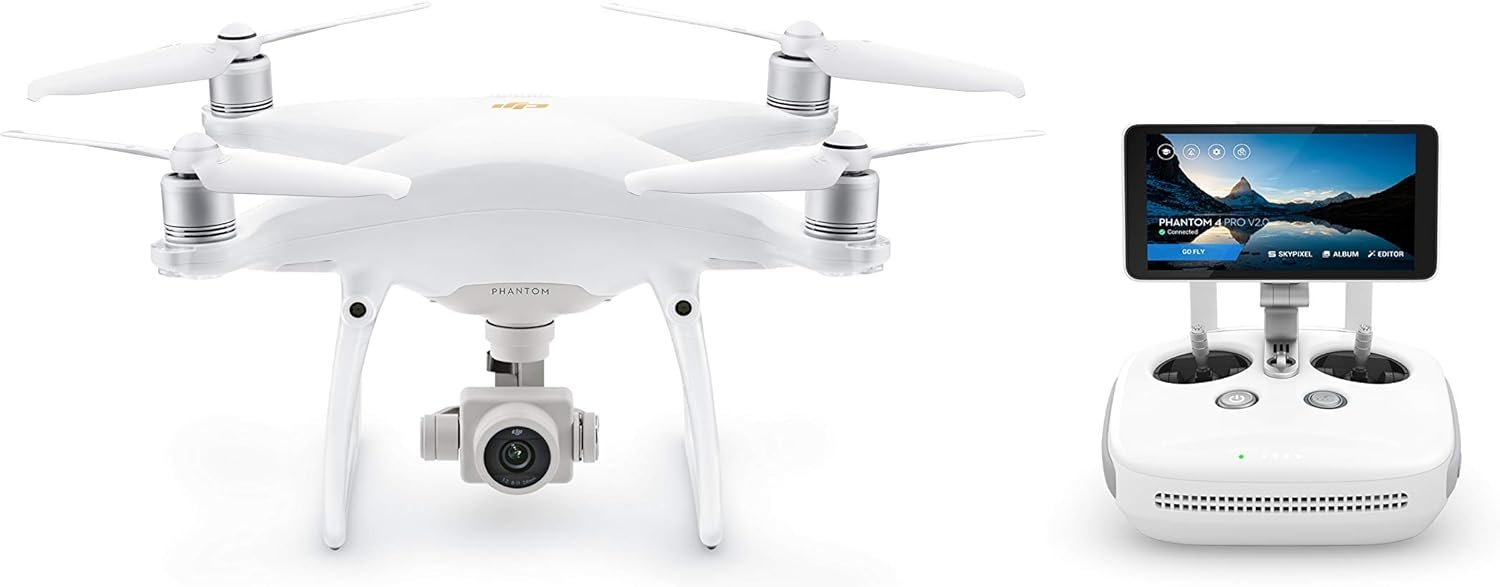
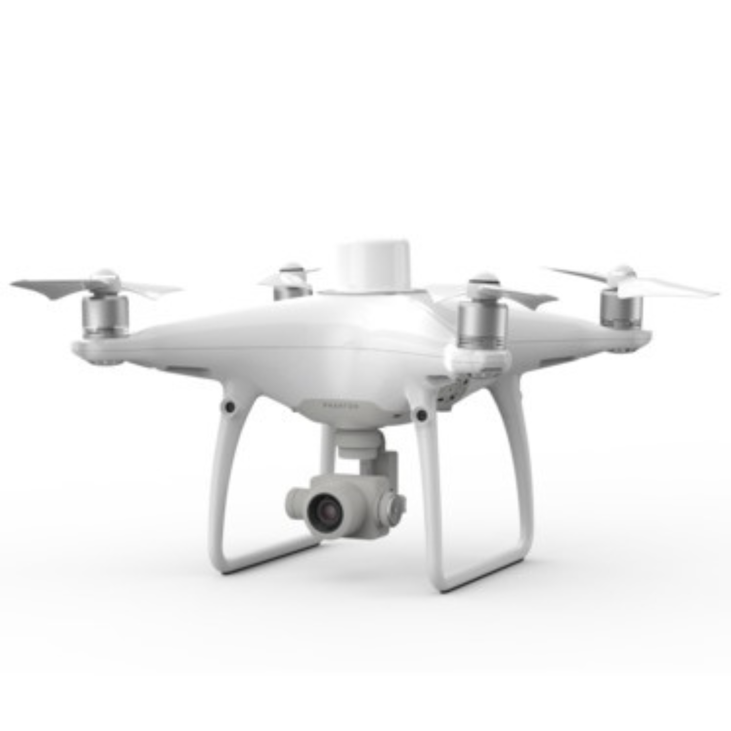
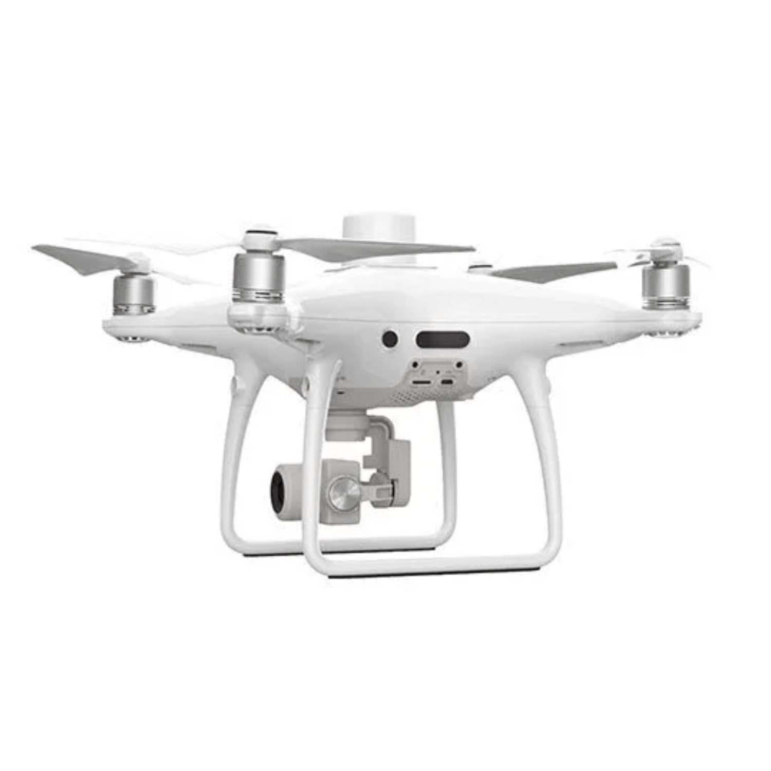
The DJI Phantom 4 RTK is a revolutionary drone designed specifically for high-accuracy mapping and surveying tasks. Equipped with a built-in RTK (Real-Time Kinematic) module, this drone delivers centimeter-level positioning accuracy, reducing the need for ground control points and drastically improving workflow efficiency.
Whether you’re working in construction, agriculture, mining, urban planning, or environmental monitoring, the Phantom 4 RTK provides the tools professionals need for reliable data collection from the air.
Mapping accuracy meets the requirements of the ASPRS Accuracy Standards for Digital Orthophotos Class Ⅲ.
The actual accuracy depends on surrounding lighting and patterns, aircraft altitude, mapping software used, and other factors when shooting.
The Phantom 4 RTK is not just a drone, it’s a complete aerial mapping solution that brings professional-grade accuracy and automation to your fieldwork. If your projects demand precision, this drone delivers.
Rate us and Write a Review

 Your request has been submitted successfully.
